Most of us understand the power of high-quality images in creating an enticing property listing that drives real estate sales. Often, these pictures become the primary selling point, capturing attention and inspiring potential buyers to envision their dream property ownership. However, obtaining amazing pictures is not always easy. Hiring a photographer or going through the hassle and expense of taking your own photos can be time-consuming.
Luckily, there are simple ways to get great images without leaving your computer, and they won't cost you a dime. Let's explore some options.
1. Google Earth / Bing Maps
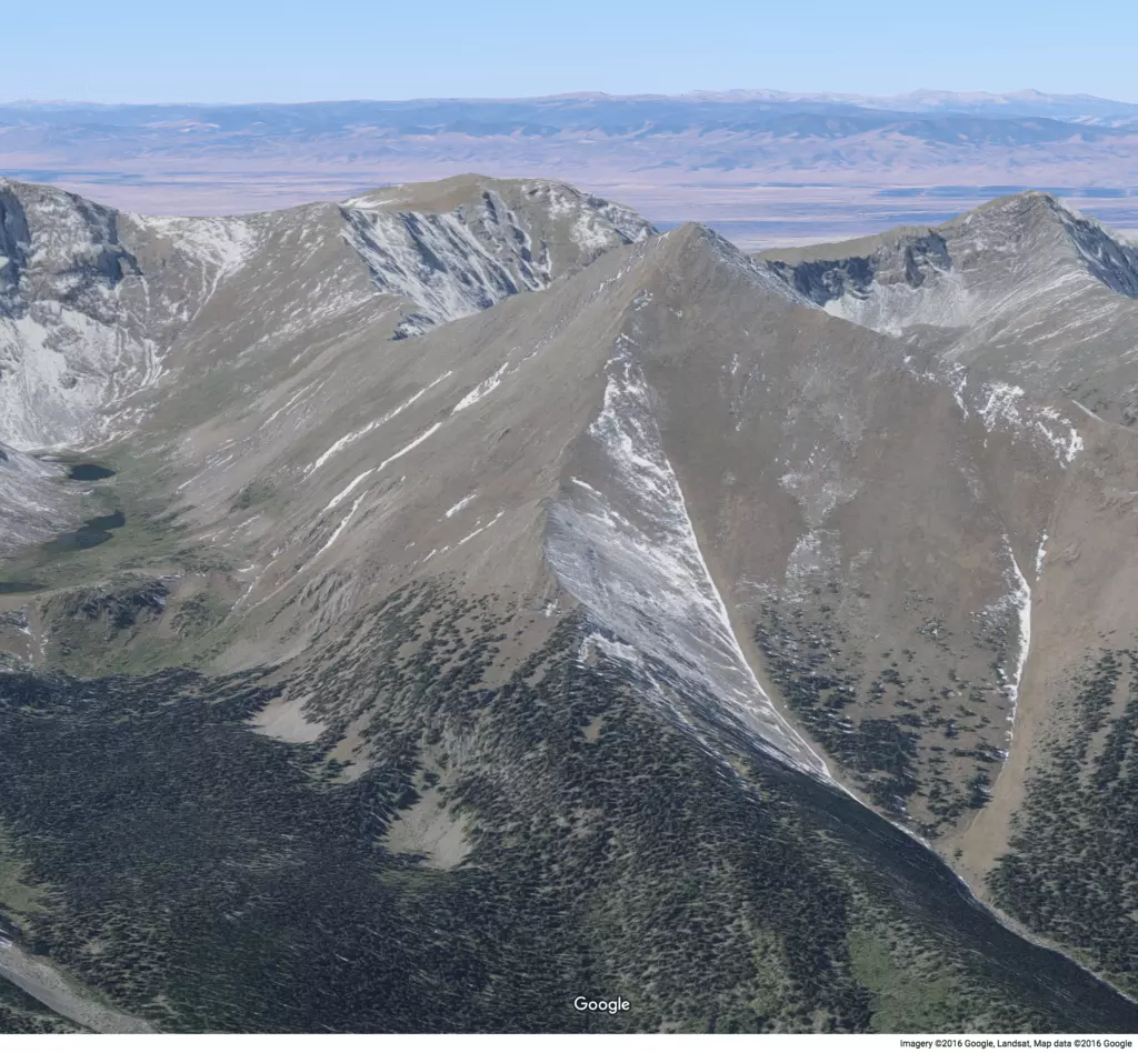
Both Google Earth and Bing Maps provide stunning satellite images that can enhance your property listings. These images can showcase the beauty of the surrounding area, such as bodies of water, mountain views, or picturesque neighborhoods.
 Google Earth coastline
 Google Earth mountains
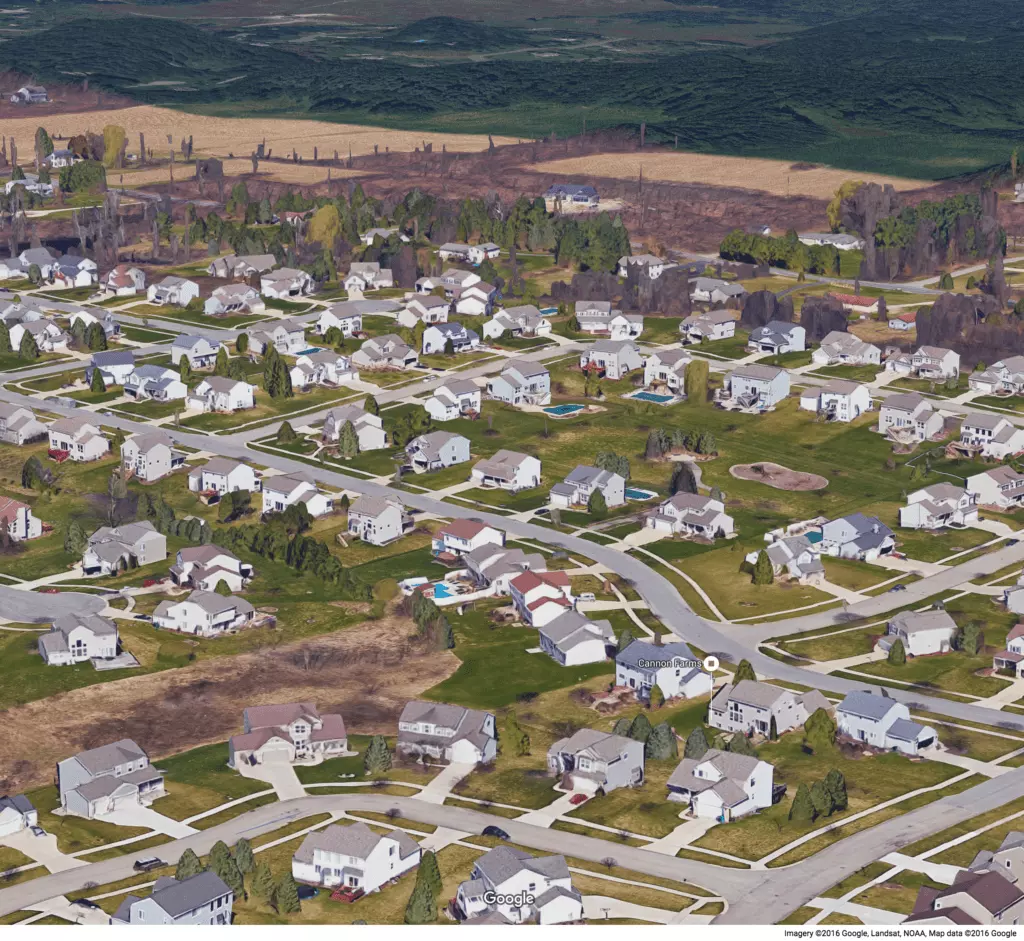 Google Earth neighborhood
Bing Maps also offers a feature called "Bird's Eye" view, which provides an alternative perspective. However, it has some limitations compared to Google Earth and Google Maps.
Google Earth or Bing Maps can both be used effectively in property listings, depending on the property itself. It is worth experimenting with both platforms to showcase different perspectives.
2. Google Street View
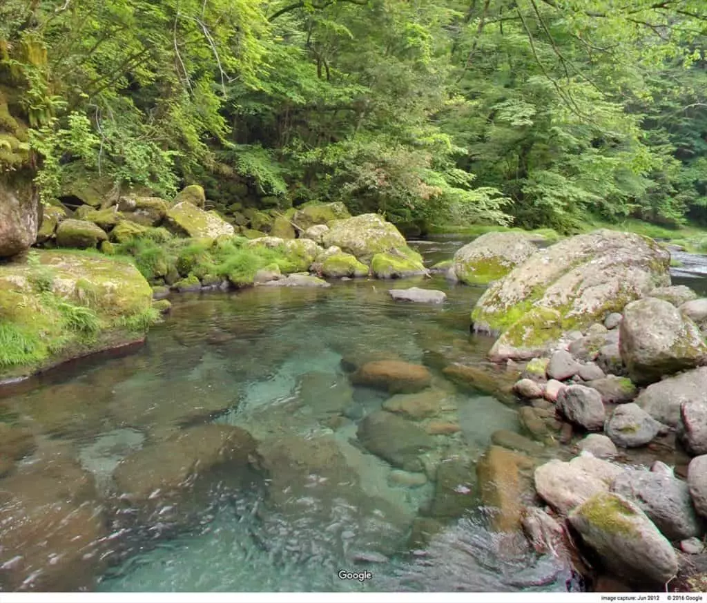
Google Street View is another useful tool for property research. It offers a database of road imagery that can provide a visual representation of a property, particularly if it has strong characteristics worth highlighting.
 High exposure shot road
 Stream photo
Google Street View may not always capture the most flattering images for every property. However, it's worth exploring the available options, given its convenience and cost-effectiveness.
3. GIS Parcel Maps
Including parcel maps in your property listing can be extremely helpful, especially for vacant land or properties with unclear boundaries. Parcel maps provide a clear understanding of the property's shape, size, and location.
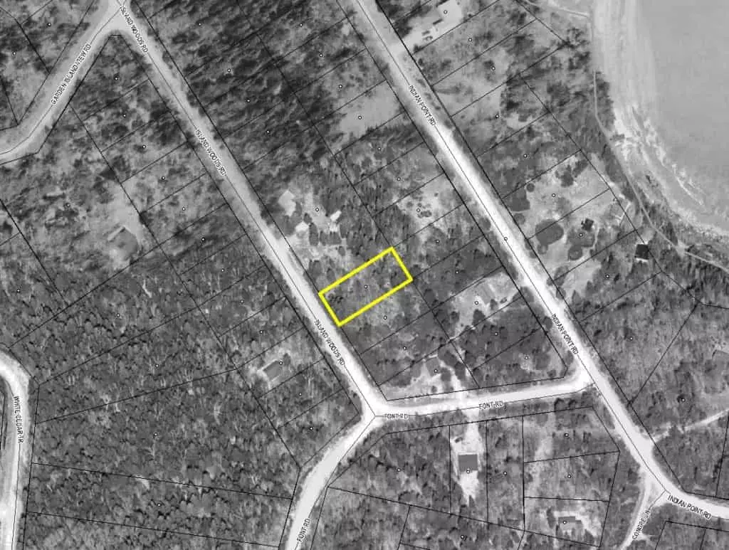 Map 1
Map 1
 Map 2
Map 2
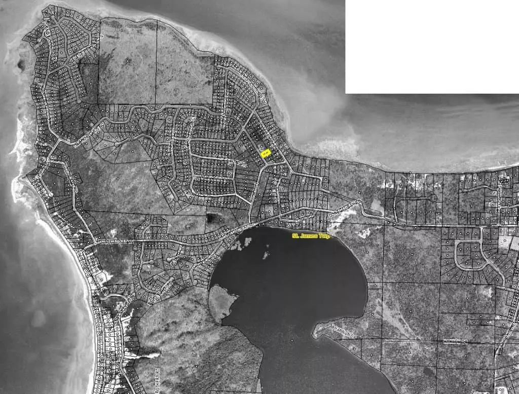 Map 3
Map 3
 Map 4
Map 4
Various methods can be used to obtain parcel maps, such as data services like DataTree or PropStream, paid subscription services like Parlay or Land id, or county GIS mapping systems. While data services are usually convenient, some counties may not provide their information to such providers. In such cases, directly accessing the county's GIS mapping system is necessary.
4. Google Image Search
Google Image Search is a powerful tool to find pictures of a property's surrounding area. However, it's essential to be cautious about using copyrighted images. To avoid legal issues, use the image filter options to search for pictures with usage rights like Public Domain or Creative Commons licenses.
When using images with Creative Commons licenses, proper attribution must be given to the owner. The same applies when using images from Google Earth, Google Maps, Google Street View, or Bing Maps. Include the name of the service and the relevant data provider either within the image itself or below it.
Remember that while these options are free and convenient, they should not be considered a substitute for legal advice. Consult with a legal professional if you have any doubts or concerns regarding the use and attribution of images.
With these resources at your disposal, finding high-quality real estate images without leaving home has never been easier. Use them wisely to create compelling property listings that captivate potential buyers.
